
Rock ledges on the island make for a perfect location to sit and relax or cast a line.
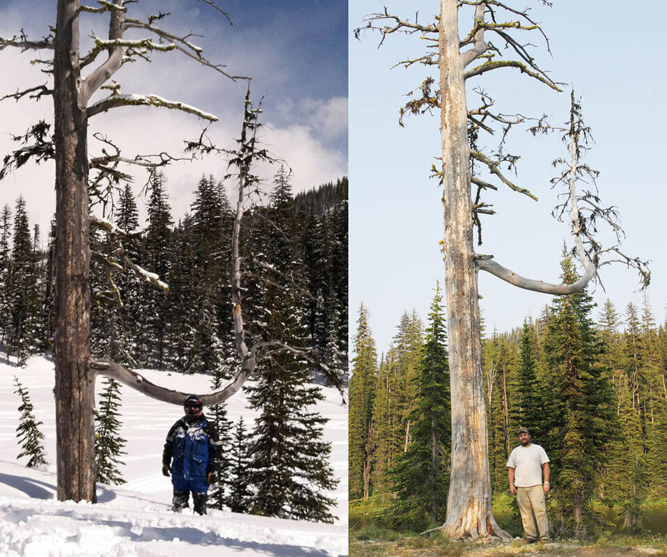
Nathan Bourne standing by the same snag on the peninsula/island on the west end of the lake in March 21, 2014 and July 16, 2014. There are several markings visitors have made on the tree for snow depths at various times of the year.
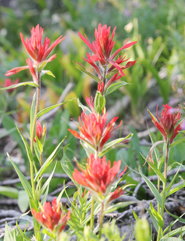
Indian Paintbrushes dot the meadows with splashes of red.
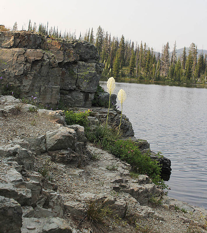
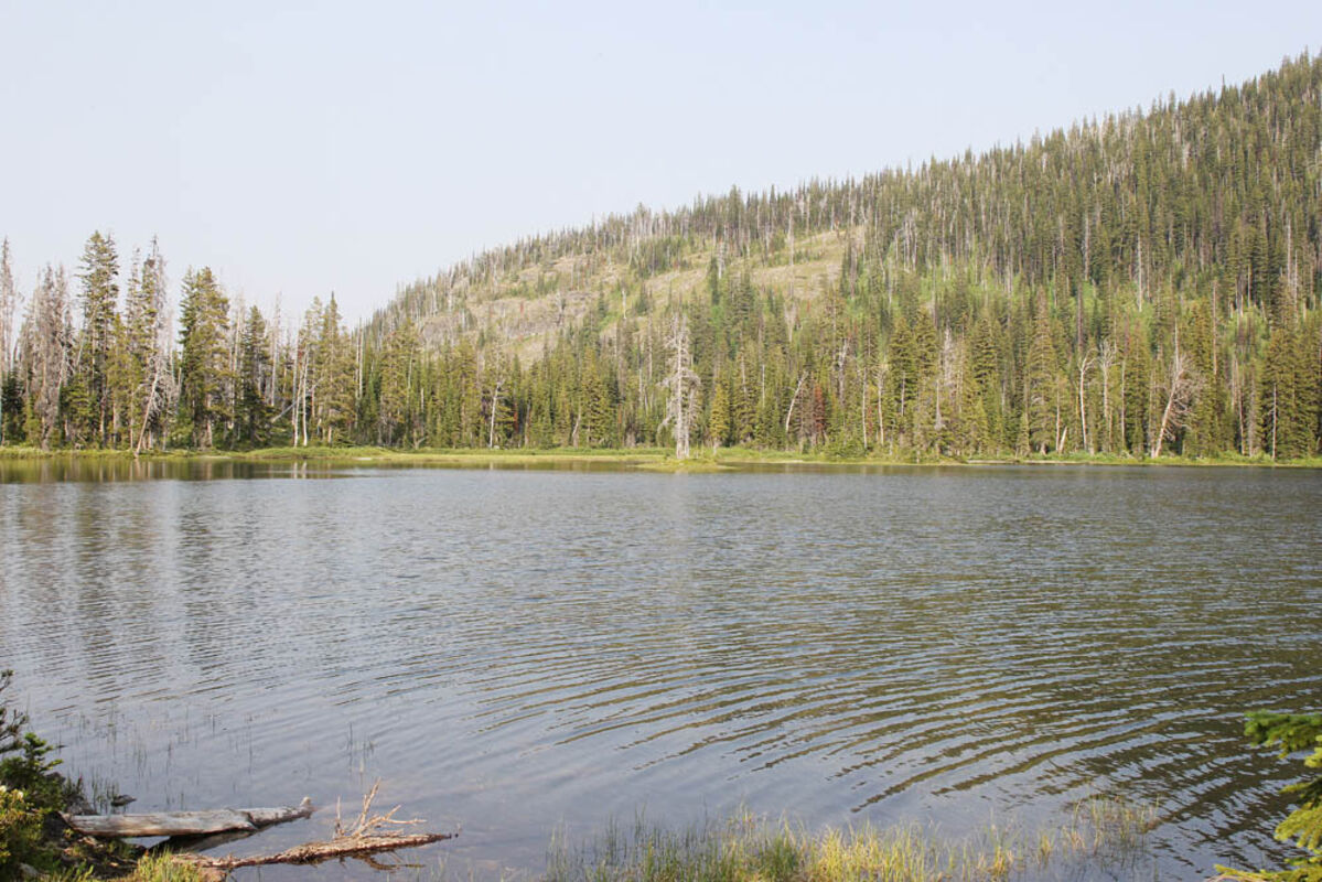
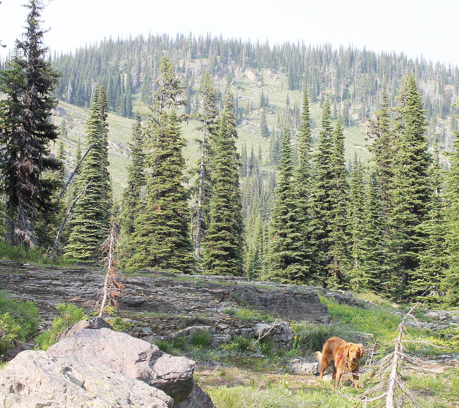
Sub-alpine forest and wildflowers surround the 36-acre Lake Dinah.
As hikers begin to crest the pass, the canopy opens up to meadows of wildflowers and rocky cliffs.
Length: 2 miles one way
Elevation: Lake Elsina – 6,320 feet;
Pass – 6,680 feet; Lake Dinah – 6,480 feet.
Directions:
To arrive at the trailhead at Lake Elsina, follow Montana Highway 83 to mile marker 19.5.
Turn west on Boy Scout Road and go about one mile. Turn north on Fawn Creek Road No. 4349. Stay left on Road No. 4349 about a mile from Boy Scout road and across from the heliport and large parking area.
Continue on Forest Road No. 4349 for another 4.5 miles, following signs to Lake Elsina, until turning northwest onto Forest Road No. 465. Follow for six miles until reaching a "T".
Continue west and continue two miles to the parking area at Lake Elsina. All junctions are signed.
Overview:
Lake Elsina and Lake Dinah sit southeast of the Mission Mountain Wilderness and east of the Mission Mountain Tribal Wilderness. Both are near the Clearwater-Jocko Divide.
Lake Dinah is a popular snowmobile destination in the winter and offers a short hike with great views, wildflowers and fishing in the summer.
The trail begins at the parking area at Lake Elsina at 6,320 feet. There is no trailhead sign. Follow the only trail that follows along the east edge of the Lake Elsina.
The trail winds through lush undergrowth and dense high sub-alpine forest along several cliff bands and open meadows as hikers climb the pass that crests at 6,680 feet. By mid July the wildflowers have just started to paint the hillsides with bright reds, purples, yellows and white. A few residual snow banks fill in the low spots.
There are several areas of the trail still under an inch or two of water. Because of all the moisture, the mosquitoes are prolific.
As hikers descend the pass, they will have a view of the Swan Mountain Range to the east. Below is 36-acre Lake Dinah.
The trail continues through sparse trees along the ridge before descending to the northern shore of the Lake Dinah. There is a trail along the lake allowing visitors to camp at various locations and plenty of opportunity to fish and enjoy the water.


Reader Comments(0)