
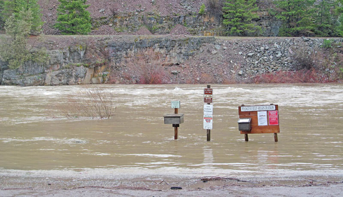
The Blackfoot River April 30 on the rise due to rain and snowmelt at Johnsrud Park near Potomac. Three weeks later the signs are no longer visible and water is up to the dumpsters on the shore. Everyone is advised to not drive through or recreate in the floodwaters.
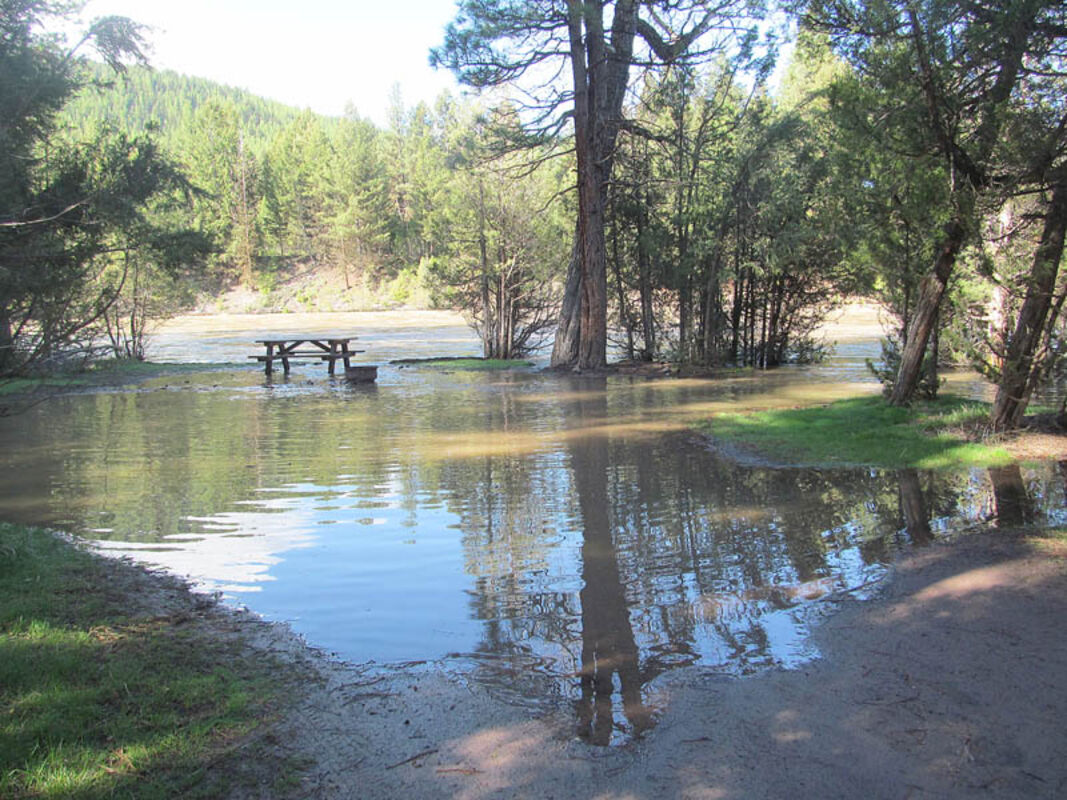
Corrick River Bend Campground area on the Blackfoot River near Greenough.
Due to extremely high water, flood conditions and associated public safety concerns, Montana Fish, Wildlife & Parks (FWP) closed many fishing access sites (FASs) around west-central Montana May 10 under the direction of the Incident Command for the Missoula flood.
FWP also closed the gates or created temporary barriers at many other FASs around the region, along the Bitterroot and Blackfoot Rivers. FASs with limited access remain open to walk-in use but people are urged to avoid these areas and exercise extreme caution.
The list of sites with complete closures or limited (walk-in only) access includes:
Clark Fork:
Schwartz Creek (limited access); Turah (limited access); Sha-Ron (closed); Kelly Island (all access points closed); Council Grove State Park (closed to all access); Kona Bridge (closed); Deep Creek (closed) and Harper's Bridge (closed)
Blackfoot: (all have limited access)
Harry Morgan;
Monture Creek;
Clearwater Crossing and Weigh Station (no access to put in a boat; Blackfoot River closed between Weigh Station and Clark Fork confluence due to construction on I-90 Bridge piers)
Warmer temperatures and increased precipitation are driving heightened streamflow and causing portions of access sites and state parks to be underwater. Recreationists should watch out for dangers during spring high-water season that include:
• Heavy debris load in water that is often hidden under the surface
• Rapidly changing water levels
• Extremely cold water
• Heavy currents
• Logs that get lodged together and create a hazard
• Flooded roadways
• Bridge abutments that catch debris and create swirling waves
• Turbid, muddy water that makes other hazards in the water difficult or impossible to see


Reader Comments(0)